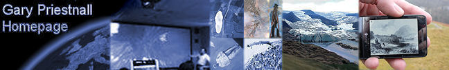
Zapp is an experimental Smartphone-based application designed to survey locations on the distant landscape by intersecting the line-of-sight from the phone with a model of the Earth’s surface held on the device. The coordinates of these distant points are used to log information about an area of interest or as inputs to queries about distant parts of the landscape. The development and evaluation of the app forms the basis of the PhD studies of Sam Meek. The application adopts a user interface based on a camera metaphor, allowing users to capture what they can see around them by pointing a central cross on the smartphone screen, in camera mode, at a distant part of the landscape and pressing a ‘capture’ button. Determining the geographic location of the feature involves using sensor data provided by the smartphone (compass, tilt sensors and GPS) at the moment the user chooses to capture a point defined by the crosshair on screen. This sensor data is used to compute a line of sight which is then intersected with a Digital Surface Model held on the phone to give the coordinates of the distant point, as illustrated below.
A series of field tests have sought to evaluate the fidelity of the phone sensors, the accuracy of locating distant points, and the influence of using alternative surface model representations on the process. Zapp has formed part of field exercises on Geography fieldtrips in Cumbria since April 2011, originally being used to survey evidence of glacial ice action on distant hillsides. More recently it has been used to help students query the geology of distant parts of the landscape on year 1 undergraduate trips. On the year 3 ‘Mobile and Field GIS’ fieldtrip Zapp has been used in the context of designing mobile visitor guides, allowing students to design and test their own interactive tour guide. Research Outcomes |

