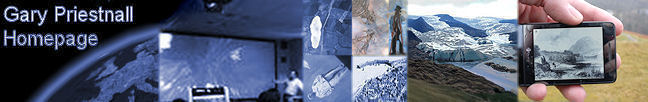
The main study site has been the area around Keswick in the English Lake District, Cumbria, an attractive upland environment popular with tourists and walkers. The broad pedagogic context is an exploration of the effectiveness of various technologies in augmenting an individual’s experience of the landscape, as alternatives to the one-to-many model often used to disseminate expert knowledge in the field. With this come interesting issues concerning people’s ability to associate various forms of digital media with the landscape features they relate to, beyond an expert guide physically pointing something out in the field.
The techniques ranged from non-digital media to digital augmentation, illustrated above. A computer-generated acetate, with labels for landscape features including past landscapes such as scenes from the ice age, can represent a scene from known points, so the student stands at the location and holds up the acetate with the captions overlaid on the view. A PDA-based equivalent presented these alternative views and annotations of the landscape automatically, on the basis of the user’s position, though not overlaid over the person’s field of view. A phone-based application was also used which allowed students to associate media elements with regions on a map and therefore create and test their own location-aware guide. The virtual globe Google Earth was made available on GPS-enabled tablet PCs, with data cached locally. Finally an experimental partial Augmented Reality system using a Head-Mounted Display linked to GPS and inertial device allowed a 3D virtual model to be rendered to the user in real-time, synchronised to their position and orientation of their head. Some of these techniques were developed as part of Nottingham’s involvement in the SPLINT (SPatial Literacy IN Teaching) Centre for Excellence in Teaching and Learning (CETL). Research Outcomes Related Links
|

